
Biodiversity & Ecology
Desk Studies
Reviewing and integrating existing data, global datasets and grey literature to inform project design, site selection, survey planning and analyses.
Overview
A desk study gives an early, defensible view of biodiversity risk before anyone goes to site. It is often the fastest and cheapest way to choose between sites, scope a survey, or answer a lender's first questions, and for some decisions it is all the evidence needed.
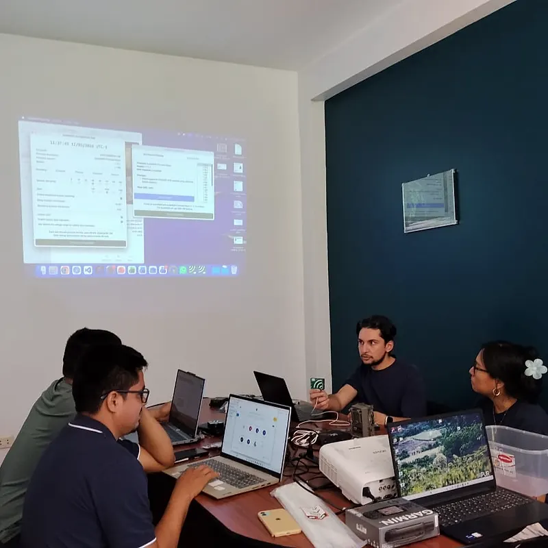
How we approach it
We bring together global and national datasets: IUCN Red List ranges, Key Biodiversity Areas, protected areas, species occurrence records and satellite-derived land cover. We add published studies, grey literature and any data you already hold. Our specialists then state what is known, what is uncertain, and what fieldwork, if any, would change the conclusion.
What we deliver
- Screening against protected areas, Key Biodiversity Areas and other sensitive sites
- Lists of likely species, with conservation status and critical habitat relevance
- Habitat and land-cover maps from existing spatial data
- A review of existing reports and data for the site
- Gaps and recommended survey scope, effort and seasons
What you receive
A written review scoped to the decision, with maps, species lists and clear recommendations for the next step.
When you need it
Use this at site selection, before scoping a baseline survey, when a lender asks for an early biodiversity view, or across a portfolio where fieldwork at every site is not practical.
Related services
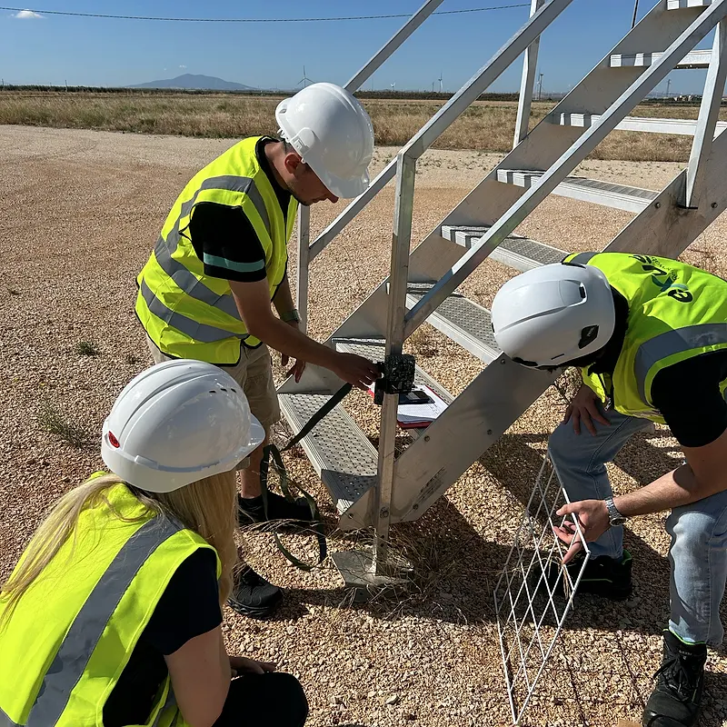
ESIA Biodiversity Baselines
Baseline surveys and specialist studies for ESIAs that satisfy lenders and national regulators, delivered to budget and on time.
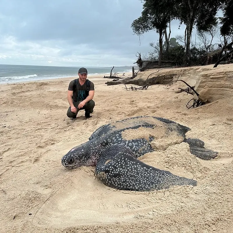
Critical Habitat Assessments
IFC PS6 critical habitat assessments, and equivalents under EBRD PR6 and World Bank ESS6, to support lender due diligence and project approval.
E&S Due Diligence
Environmental and social reviews against the IFC Performance Standards to identify risks and decision points.
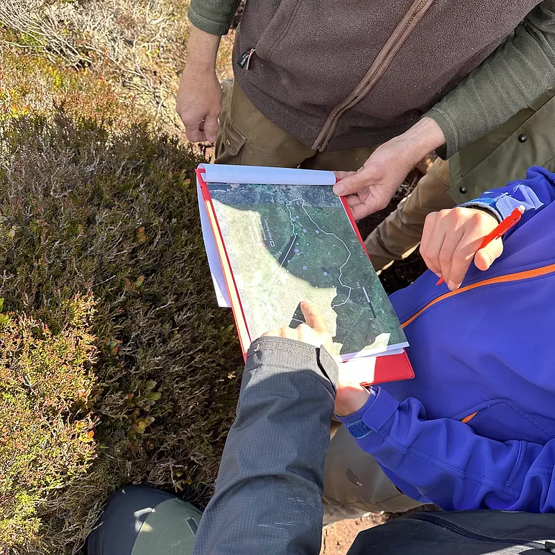
Biodiversity Impact Assessments
Impact assessments applying the mitigation hierarchy, supporting approval and investment decisions.
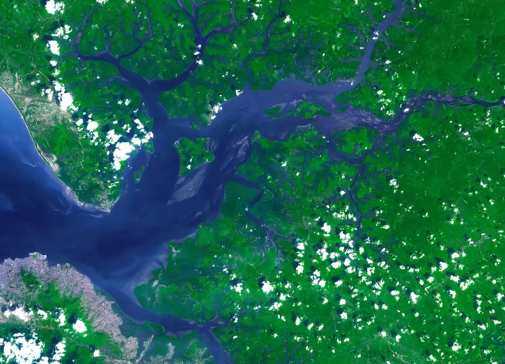
Remote Sensing & Habitat Mapping
Satellite imagery and spatial analysis to map habitats and land-use change across whole landscapes, delivered through NatureCube.
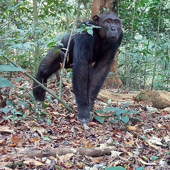
Mammal Surveys
Surveys of large and small mammals using camera traps, transects, sign surveys and eDNA, designed to the standard each project must meet.