
Biodiversity & Ecology
Invasive Species Detection & Monitoring
Early detection and long-term monitoring of invasive species using field surveys, eDNA and remote sensing, to support management and reporting.
Overview
Invasive species are far cheaper to control when they are found early. Detection and monitoring programmes show where invasive plants and animals are, whether they are spreading, and whether control is working.
How we approach it
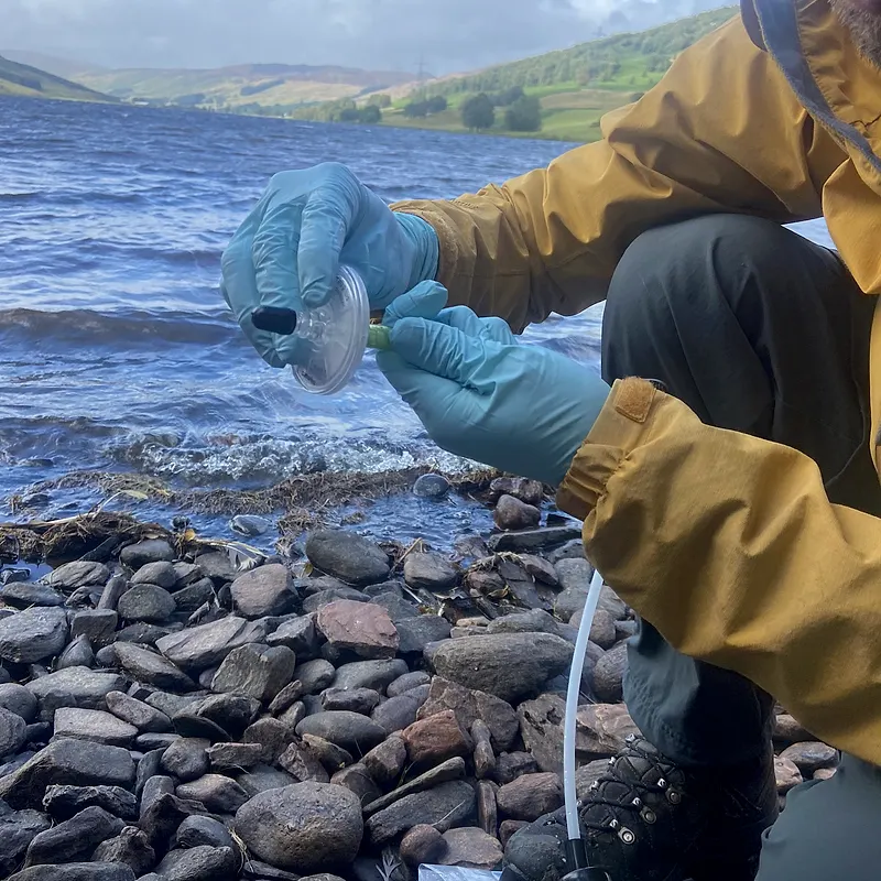
We match the method to the species. eDNA from water or soil samples can detect aquatic and cryptic species at low densities, often before they are seen. Remote sensing maps the spread of invasive plants across large areas. Field surveys and camera traps confirm records and track control. Results are held on NatureCube, so change over time is easy to see and report.
What we deliver
- Risk screening of likely invasive species and pathways
- Early-detection surveys using eDNA, field surveys and camera traps
- Mapping of invasive plant spread from satellite and drone imagery
- Repeat monitoring to measure spread and control effectiveness
- Reporting for lenders, regulators and management plans
What you receive
Detection results, maps and a monitoring design you can repeat, with reporting that supports management decisions and compliance.
When you need it
Use this when a lender condition, management plan or operating licence requires invasive species control, or when construction, shipping or land-use change creates new pathways for invasion.
Related services
ESIA Biodiversity Baselines
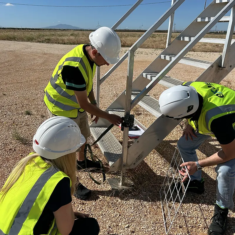
Baseline surveys and specialist studies for ESIAs that satisfy lenders and national regulators, delivered to budget and on time.
Biodiversity Action & Management Plans
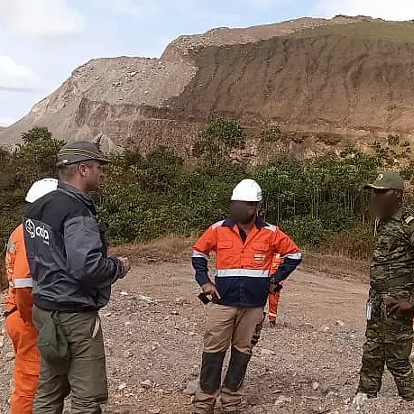
Plans and monitoring programmes that turn assessment findings into commitments you can track.
Remote Sensing & Habitat Mapping
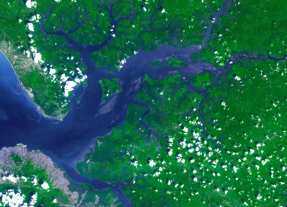
Satellite imagery and spatial analysis to map habitats and land-use change across whole landscapes, delivered through NatureCube.
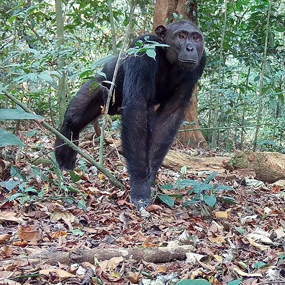
Mammal Surveys
Surveys of large and small mammals using camera traps, transects, sign surveys and eDNA, designed to the standard each project must meet.
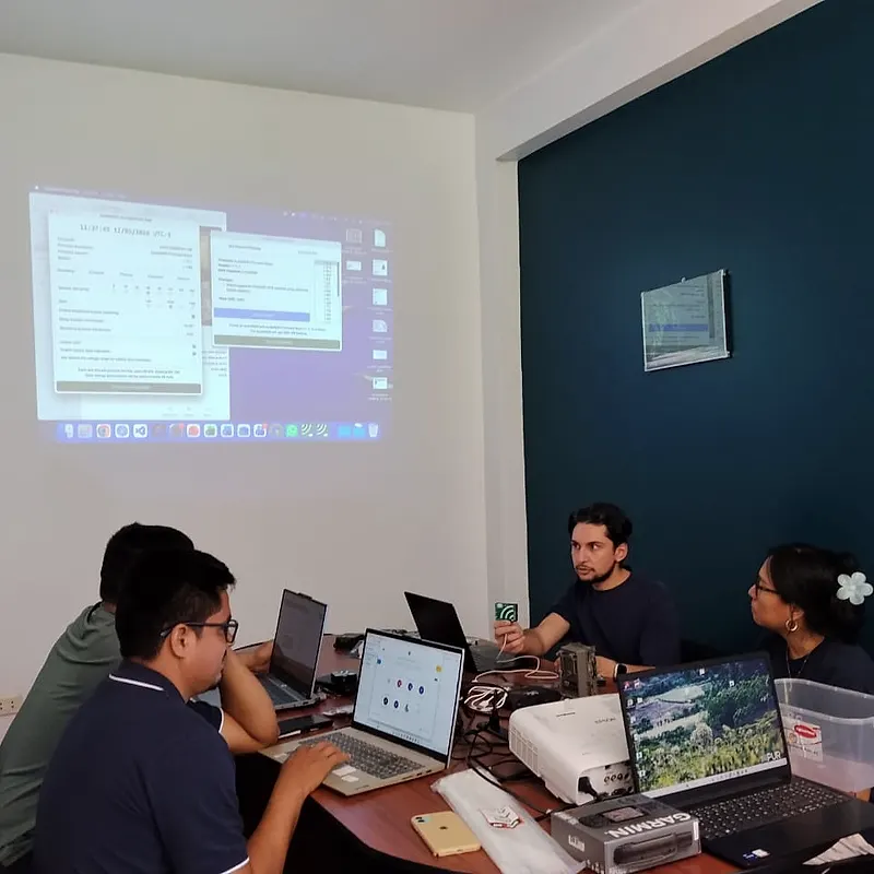
Desk Studies
Reviewing and integrating existing data, global datasets and grey literature to inform project design, site selection, survey planning and analyses.
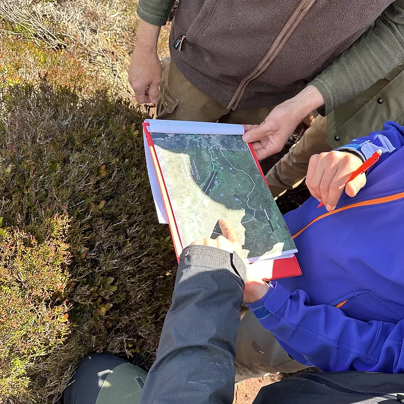
Biodiversity Impact Assessments
Impact assessments applying the mitigation hierarchy, supporting approval and investment decisions.