- Client
- A plantation operator in the Republic of Congo (anonymised)
- Sector
- Plantation forestry
- Location
- Republic of Congo
- Year
- 2025
Mapping eucalyptus plantation change across 47,000 hectares with satellite AI
We used radar and optical satellite imagery with machine learning to give a plantation operator year-on-year maps of its eucalyptus, despite persistent cloud cover.
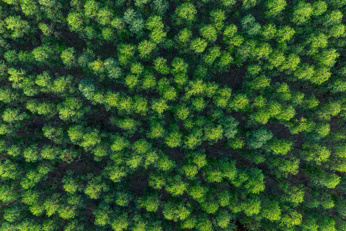
Satellite AI can map plantation change at scale. © iStock
47,676 ha
of plantation permits mapped
2
years compared
2
AI models combined
The challenge
The operator needed to know how much mature eucalyptus was still standing across its permits, how much had become coppice or bare ground, and how this had changed from one year to the next. Heavy cloud cover makes optical satellite monitoring difficult in the region, and ground surveys across tens of thousands of hectares are slow and costly.
What we did
We combined Sentinel-1 radar, which sees through cloud, with cloud-free Sentinel-2 optical imagery. After labelling plantation areas as training data, we trained U-Net and XGBoost models to map eucalyptus. We then used vegetation-index thresholds to separate mature trees from coppice and bare ground, producing 2024 and 2025 maps and change statistics for every permit and plot.
The outcome
The operator now has plot-level maps showing where mature trees are standing and where change has taken place between years, without sending survey teams across tens of thousands of hectares. The same method can be repeated each year to track change.